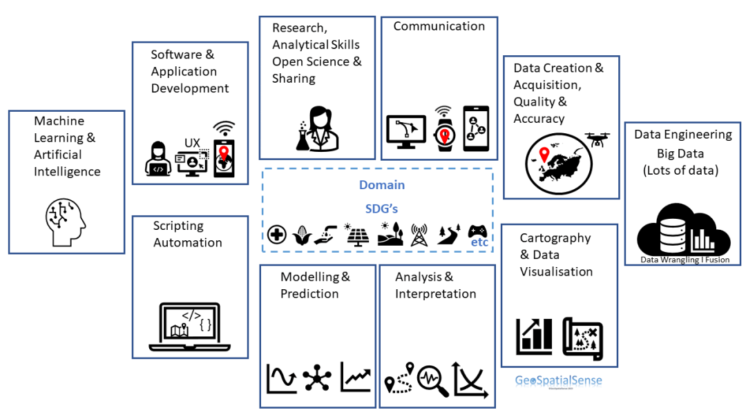
What skills are needed? The skills needed in the geospatial field are changing as the technology and data availability evolve.
Based on the Geospatial Competencies and a recent analysis of job postings (UK Report) the skills needed for anyone interested in becoming a geospatial expert/scientist or spatial data scientist range from
- data creation and acquisition to fusing and engineering the data,
- visualisation,
- analysis,
- modelling and prediction and
- application development (web and/or mobile).
For some of these there is a need to develop scripting/programming skills as well as be able to perform advanced level analyses that go beyond traditional spatial analyses.
These different skills are summarised in the graphic. Over time one will become proficient in many of the skills.
